Hike: Cape Horn
I had a wonderful Thanksgiving. We ate a ton: turkey, deviled eggs, mashed potatoes, green bean casserole and an excellent sweet potato pie from Joy The Baker’s recipe. But after a huge meal then two days of leftovers, we needed some excercise. So we packed a lunch (more leftovers), leashed up the dog and headed to Cape Horn.
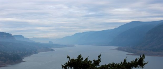
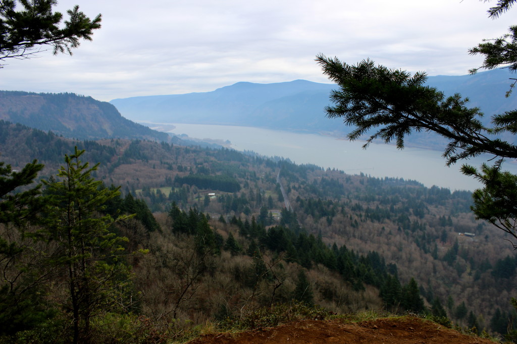
I’ve mentioned Cape Horn before in my 5 Must-Hike Summer Trails. It’s a 7-mile loop right at the mouth of the Columbia River Gorge on the Washington side. It’s full of great views of the river and the Gorge. You can even see Beacon Rock in the distance. Read more about that hike here. What I like most about the Cape Horn hike is it’s variety. You hike through forest, fields, rock slides, along the edge of cliffs and past a water fall.
I’m always surprised this hike does not appear in more books. It’s one of the closest to Portland (I thin Angel’s Rest is a little closer), has great views and a VERY well maintained trail. It’s a good distance with a number of options for shorter trips. The only problem is that part of the trail is closed from February 1st to July 15, because it runs through a falcon breeding area.
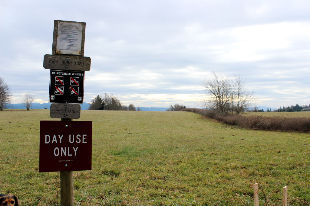
We did the entire 7 mile loop, starting and ending at the trailhead off of SR-14. There is a nice parking lot with bathrooms. We headed north towards the Pioneer Point viewpoint at the top of the hill. This section of the hike has the most elevation gain as you switchback up to the top. From there, it’s long slow downhill to the cliffs above the Columbia River.
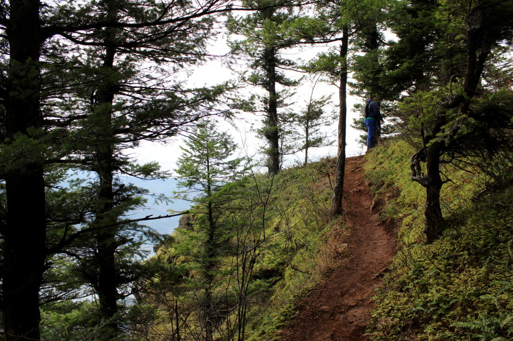
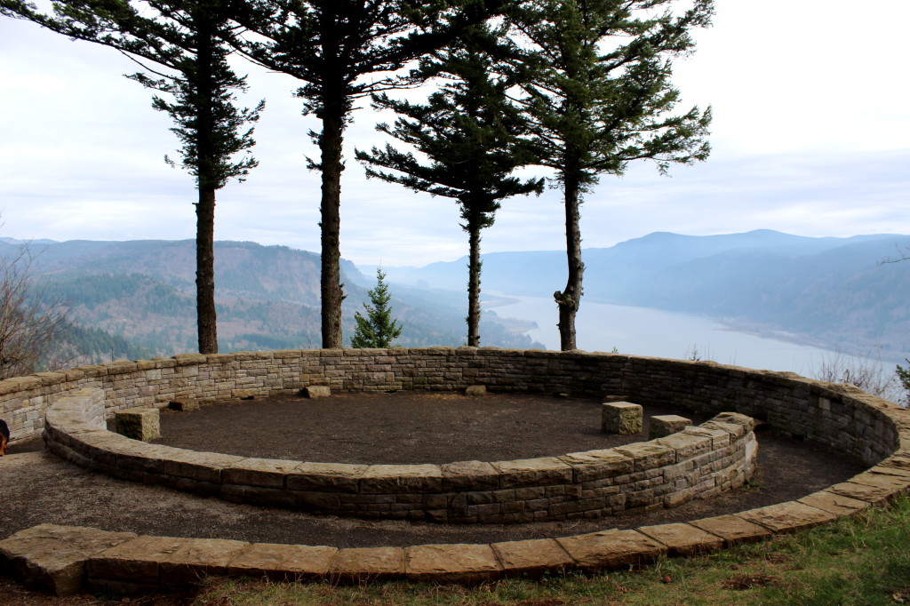
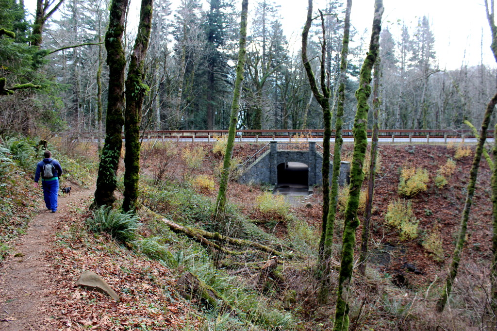
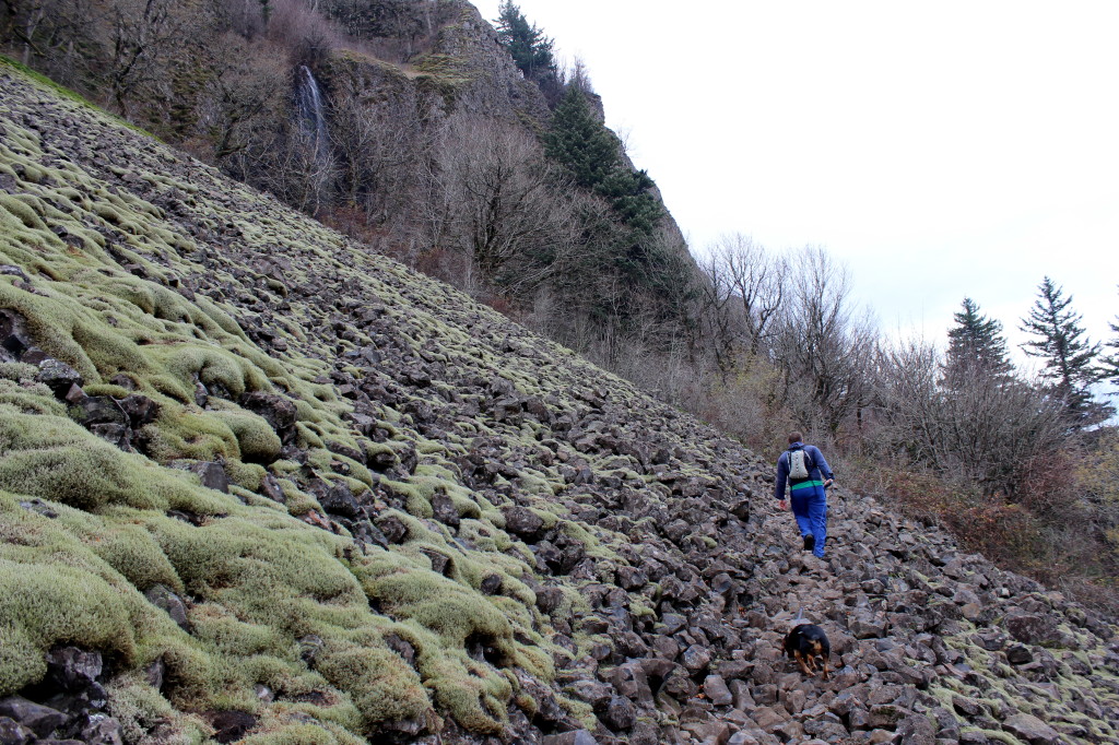
You’ll cross a road and walk through field towards the Nancy Russell Overlook. We stopped here to eat lunch on the stone benches before continuing towards the Columbia River. Eventually, the trail takes you through a tunnel under SR-14. I really appreciated this, crossing the highway would be kind of scary. Once on the other side of 14, the trail gets more difficult, as you switchback down a rockslide. It’s not dangerous, you just have to go slow and carefully pick your footing. It made my legs really tired.
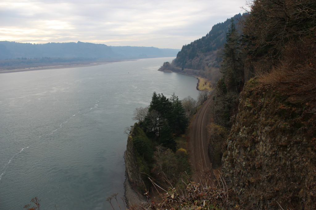
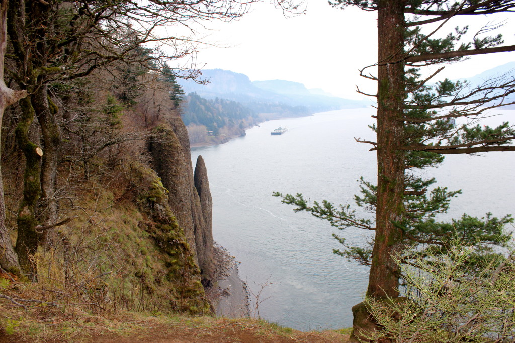
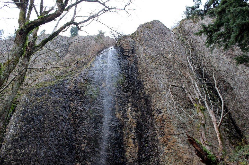
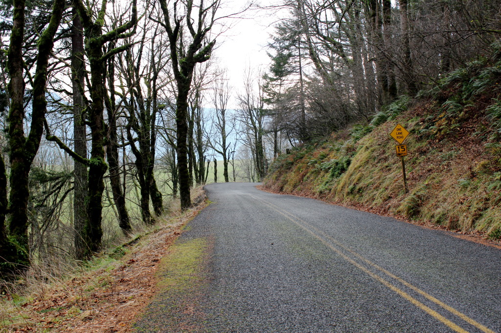
Finally, at the bottom you get great views over the river. You’re at the top of some cliffs right above the water. Be careful with your pets here, it’s a long ways down… The trail parallels the cliff for a while until you get to the last lookout at a place called Cigar Rock. After this you start to head back up, through more rock slides, past a water fall and finally out onto Cape Horn Road. From here you’ll walk about a mile on the paved road back to the trailhead. Right before you get to the highway, there is a trail on the west side of the road that will take you through another tunnel under SR-14.
We were tired by the end, but really enjoyed the trip. It took us about 2.5 hours. I’ve hiked Cape Horn twice in the winter, I really need to take my own advice and do it agin next summer. I hope more people start discovering this spot. I think it’s worthy of a lot more attention. Here are the directions to get to the trailhead:
From Portland, take I-205 north towards Vancouver. After crossing the Columbia Rover, take the exit for SR-14 East past Camas and Washugal (Milepoast 16). A few miles later you will enter the Columbia River Gorge Scenic Area. Continue on the highway, past the Cape Horn Viewpoint to the parking area at Salmon Falls Road (just past milepost 26). Turn left onto Salmon Falls road then right into the parking lot.



Leave a comment