4T Trail
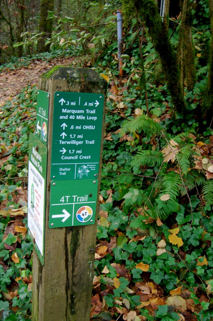
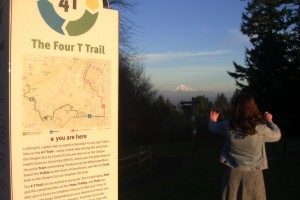
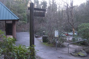
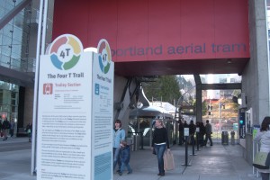
I’ve been hiking in Washington and Forest Park pretty much my entire life. Back in November, on Thanksgiving Day, I went on a pre-feast hike with my Dad. We started at the zoo and headed south into the hills. Along the way we kept seeing these signs none of us had ever noticed before. We hiked to Council Crest then down the other side to a little park called Marquam Shelter. Where, finally, our questions were answered:
The four “t”‘s are: Train, Trail, Tram, Trolley. One big loop from downtown Portland, through forest park to OHSU then back to downtown. It’s obviously a tourist gimick, but it’s just the type of thing I love. Especially since I’ve always wanted to ride the tram, but have never taken the time to do it.
So I recruited my two favorite partners in crime and we started our trail in Goose Hollow (but you can start at any downtown Max stop). You ride to the zoo, so you need to buy a ticket ($2.05). Depending on your plans, you may want to consider an all day pass ($4.75). You have to buy a second ticket at the other end for the streetcar (I don’t think you will make it before your transfer runs out).

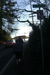
We rode the Max train to the zoo stop, then took the elevator to the surface. You are now in the parking lot for the Oregon Zoo, Portland Children’s Museum, and the World Forestry Center. To get to the 4T trailhead, start walking downhill, past the zoo. It feels like you are headed the wrong direction, but you aren’t. After you get past the zoo, the road will curve a little and you will see and hear the freeway. Carefully walk across the overpass, cross to the far side of the road and start walking to the left… down the freeway on-ramp!
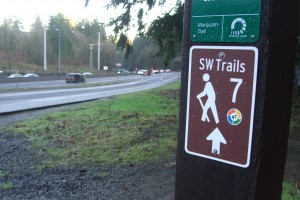
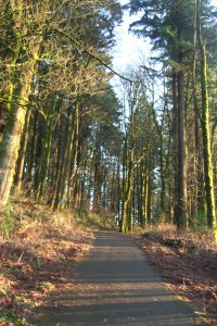
It is a little bizarre because you walk nearly onto the freeway, but soon you’ll see the sign for the trail heading up into the woods. Take it. Please don’t walk on the freeway. Start heading up the switchbacks into the woods. I’ve taken this trail three times this winter, it’s been very muddy each time.
Eventually, the trail opens onto a road. Turn right and head towards the 4-way stop. Take a left and head up the road past the gas station. There are signs to guide you, but they are easy to miss.
After about a quarter mile on the road, you will see a a wooded and paved path leading up the hill, follow that into Council Crest park. There are fantastic views on a clear day.
Cross over the top of the hill and head down the other side. They were kind enough to put in a big sign, so you can easily find the next trail. Head down hill, you will wind through the forest and neighborhoods. At the Marquam Shelter head to the right back up the hill on the final climb to OHSU.
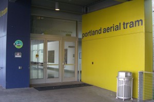
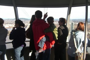
At the top you will arrive in a parking lot. Exciting! The hiking/sweating park of this trip is over. Cross the parking lot and head down the hill towards the emergency room. Again, there are 4T Trail signs, but the emergency room signs are bigger and easier to see. Past the emergency room is the “Portland Aerial Tram”. Hopefully it’s a nice day, becuse the views are spectacular.
Good news! The tram is free when you go DOWN hill. It will drop you off in the new South Waterfront Development. If it’s a nice day and you still have some energy, take a stroll around. If not, catch the street car back to downtown. Remember to buy a ticket if you didn’t buy a day pass earlier.
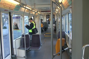
The streetcar (Trolley) will take you back to downtown.
TRAM HOURS: Weekdays 5:30am-9:30pm, Saturday 9-5, Sunday 1-5




Leave a comment